Ordnance Survey and GeoPlace ® are collaborating to explore the potential of bringing together the OS MasterMap ® Integrated Transport Network ⢠Layer (ITN) and National Street Gazetteer (NSG) to create the Great Britain definitive roads network, integrating the Unique Street Reference Number (USRN) and other data from NSG with the most detailed definitive geometry from Ordnance Survey.
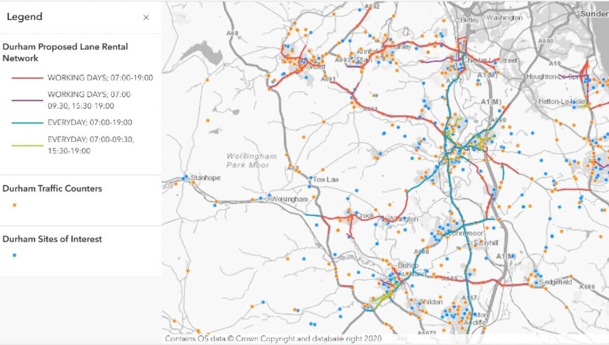
Ordnance Survey and GeoPlace ® are collaborating to explore the potential of bringing together the OS MasterMap ® Integrated Transport Network Layer (ITN) and National Street Gazetteer (NSG) to create the Great Britain definitive roads network, integrating the Unique Street Reference Number (USRN) and other data from NSG with the most detailed definitive geometry from Ordnance Survey.


