This 'channel shift' has seen the cost of individual transactions fall by 65% from £2.33 to £0.77 and the value of payments via the online channel soar to over £720,000 per month. At the same time citizens, businesses and landlords have benefitted from over 80 online services including payments, applications for facilities, licenses, discounts and incident reporting via a simple to use web interface.
The MyHarrow Account has been facilitated through back-end systems integration, not least with the council's own local address dataset. Over 14 council service delivery systems now utilise this dataset as the sole source for addresses. When a citizen or business logs in to their MyHarrow Account the information pulled from various backend systems is based on that user's address and the UPRN (Unique Property Reference Number).
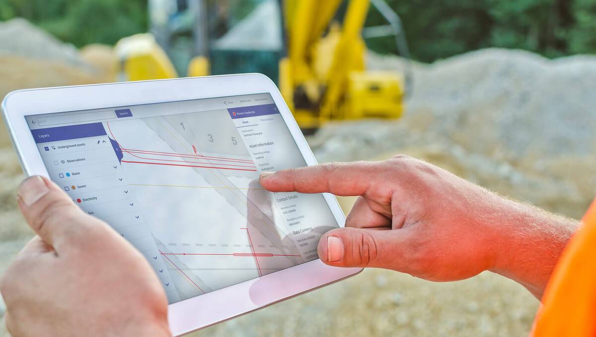
The UPRN acts as the key, enabling the MyHarrow Account to display a single view of council services relevant to individual users. As well as its local address dataset, Harrow has used mapping and other data supplied by Ordnance Survey under the Public Sector Mapping Agreement (PSMA). This location information is also used for map based reporting and other services such as enabling residents to view nearby planning applications on a map. Current trends indicate Harrow's investment in the MyHarrow Account will be recouped in less than a year.
Channel shift and the savings it promises to deliver has been a major aim of transformation initiatives across local authorities for some time. In recent years the increasing availability of broadband and a desire by people to access services online is delivering on the promise with significant Channel shift taking place. In Harrow with its 82% broadband access, citizens, businesses, landlords and tenants have access to council tax and business rates, housing rents, benefits payments, waste collection, parking permits and map based reporting online. The Harrow website is now receiving over 74,000 unique visitors per month and over 7,500 citizens now have a MyHarrow Account.
"The MyHarrow Account is central to our 'Channel Shift' strategy," said Ben Jones, Senior Project Manager, London Borough of Harrow. "Not only does it provide citizens with an attractive, easy to use way of transacting with the council, but also introduces significant efficiencies and savings. It demonstrates our commitment to being an open, accessible and efficient organisation that is here to serve the needs of its citizens using the best technology currently available."
-end-
CONTACTS:
GeoPlace contact: Gayle Gander, Head of Marketing
Tel: +44(0)207 747 3500
E-mail: [email protected]
For more information about Local Land and Property Gazetteers, please see services.geoplace.co.uk/.
Notes to editors:
GeoPlace
GeoPlace is a public sector limited liability partnership between the Local Government Association and Ordnance Survey. GeoPlace's role is to create and maintain the National Address Gazetteer and the National Street Gazetteer for England and Wales, providing definitive sources of publicly-owned spatial address and street data for Great Britain. Through agreement with Scotland's Improvement Service Company, coverage has been extended to include Scotland'.
Local Government Association
The Local Government Association is here to support, promote and improve local government.
We will fight local government's corner and support councils through challenging times by making the case for greater devolution, helping councils tackle their challenges and assisting them to deliver better value for money services.
Visit www.local.gov.uk
Ordnance Survey
Ordnance Survey is Great Britain's national mapping agency. Its job is to collect, maintain and distribute the most accurate and up-to-date geographic information (GI) of the whole country that government, business and individuals rely on.
Visit www.ordnancesurvey.co.uk


