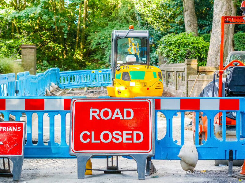
For the Olympic and Paralympic Games in 2012, the Olympic Route Network (ORN) and Paralympic Route Network (PRN) needed to be as efficient as possible. Across London, the Home Counties and parts of the South West where sailing events took place, designated routes were essential.
They were needed by support services, athletes and their coaches, officials, the public and the media, between the competition and training venues before, during and after the games. Perhaps most importantly, the ORN and PRN needed to be used by utilities and contractors licensed to work on those streets and roads during build-up and breakdown. For this reason, the Olympic Delivery Authority (ODA) commissioned GeoPlace to manage the inclusion of the ORN/PRN designations in the National Street Gazetteer (NSG).
The scope of the work was to:
- ensure that the local authorities continued to submit information on which the ORN/PRN relies
- validate the data supplied by Local Authorities and the ODA
- ensure availability of data via the NSG
- facilitate the acceptance of updates to the ORN
- communicate key messages and updates of the ORN/PRN data to all local authorities and utilities
GeoPlace designed and actioned the consultations, workflows and validation to meet these three main aims across all 45 local highway authorities and key stakeholders.
“The NSG was the ideal way of communicating the Olympic Route Network and Paralympic Route Network to those licensed to dig up the roads,” said Oscar Akintoye from the ODA. “For these organisations it was business as usual. However if their work posed a risk to the integrity of the ORN or PRN during the key periods they could be alerted immediately. The NSG provided appropriate information and advice to ensure that work was either coordinated or re-scheduled to a more appropriate time.”
This project was a great example of using existing processes, working arrangements and close collaboration to ensure minimum disruption to the transport network before, during and after the 2012 Olympics.


