The PSGA is a contract between Ordnance Survey (OS) and the Geospatial Commission of behalf of the public sector in Great Britain. It sets out how OS provides location data and expertise to the public sector across Britain. It supports the delivery of critical infrastructure and services, as well as working to help protect our environment. Check out the resources below to see how you can access data and services under the PSGA.
Ordnance Survey
The Public Sector Geospatial Agreement
Public sector organisations rely on Ordnance Survey’s world-leading location data to deliver policy, critical infrastructure, and services across Britain.

Ordnance Survey
OS Data Hub
Bring your solutions to life with OS data and APIs. Get started for free and benefit from the power of location by incorporating Great Britain’s most comprehensive geographic data into your applications.

Conference review
Products and services for local government
A collection of government guidance on best practice for using address and street data.
Review of a session at the 2023 GeoPlace conference which featured speakers from GeoPlace and Ordnance Survey, discussing the latest products, services and innovations to help local government.

Webinar
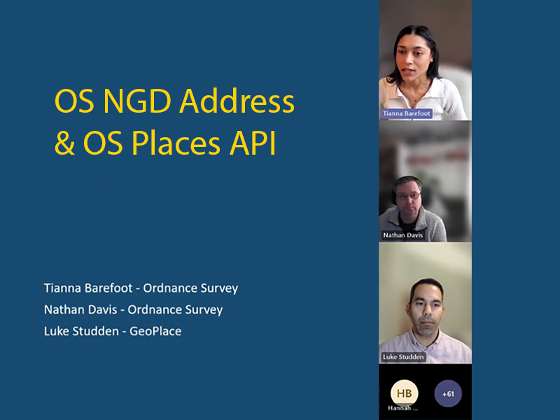
GeoPlace/Ordnance Survey webinar: how to utilise address data
GeoPlace hosted an introduction to the National Geographic Database (NGD) and OS Places API, their use cases and how to access them and incorporate them into your systems

Data and services
FindMyAddress
Find the official address or unique property reference number for every property in Great Britain

How to...
Derive efficiencies and insight from the data you didn’t know you had
All councils have an incredible pool of data at their disposal. Find a series of resources designed to support your data journey.


