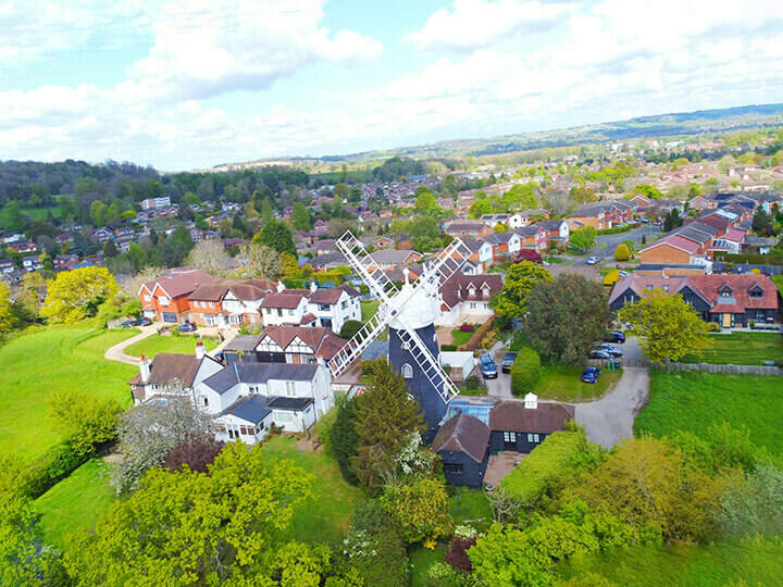
NSG Exemplar Award Highly Commended – Best Integration of the NLPG and NSG 2009: Monmouthshire County Council.
Monmouthshire County Council administers a large, mainly rural, area of South East Wales. In 2005, a review concluded that it needed to overhaul both its service delivery and support infrastructure to meet the modern eGovernment agenda.
Key among the enabling technologies identified to make this happen was a single integrated gazetteer, combining all the underlying highway information with address and property based information. In essence, this is a single data repository, unified by a single gazetteer management system capable of submitting data to both the NSG and NLPG hubs.
The aim for the Highways Department was to review the existing gazetteer in terms of street and road names, extent and maintenance responsibility, to meet the needs of both highway and property based services. The gazetteer work would also seek to develop a definitive bi-lingual settlement structure, capable of producing accurate addressing, not only for the larger urban areas but also for the small rural settlements.
The work revealed by this project, which is ongoing, has proved to be extensive as the original street gazetteer was developed before the NLPG came into existence. Many roads were linked with towns rather than settlements and were incorrectly named or not named at all. Many un-adopted roads, such as farm tracks, were being maintained by the council when they should not have been. The new gazetteer would have to provide a true reflection of what actually existed on the ground rather than what might have appeared on a map.
Outcomes
The work of defining settlements has been carried out through the use of maps, text data from old paper records, local knowledge and site visits. Using GIS, ‘arbitrary’ boundaries were created until the entire county was covered by a complete mosaic of places. The proposed settlements were consulted on with internal stakeholders. Alongside this, a complete review of the highways network was conducted. This involved walking and reviewing the full highways network, and comparing it to the original highways register, covering a total of 3500 roads or approximately 1800 km. At the same time, a specialist team from the Welsh Language Board now have a consolidated set of place names on which to determine standardised bi-lingual settlement spelling. The work on settlements and their extents means that streets and properties consistently reference and reflect a recognisable place in the real world.
As a result of this work, time now spent on reviewing extent ownership and naming queries has been significantly reduced and there is a reliable single source of information on which to build highway records and asset data.
The project has delivered substantial improvements in national data matching measures such as Council Tax, now 99%. Business systems accessing the gazetteer, achieve 100% match rates, and work towards the 2011 Census has produced only 680 records for the Council to check, with the ability to resolve 500 of them easily.
Conclusion
One of the first areas to receive attention was the council’s public facing website which now enables citizens to perform a wide variety of searches on 14 council service areas based on where they live. Information accessible through the website can include anything from the location of nearest schools and recycling centres to road works in the area, all displayed on maps. All searches are facilitated by the gazetteer.
Citizens can also sign up to an email alert service, so they are automatically notified when something happens close to where they live, such as a new planning application. Electronic forms also enable citizens to report address queries and identify precise location details via an electronic map.
Monmouthshire Council has also modernised its ‘One-Stop-Shops’ where staff are able to accurately locate and resolve citizens’ problems through access to key information made possible through gazetteer linking.
Key benefits
- One centralised source of accurate street and property information upon which to base service delivery.
- Improved data matching.
- Provides citizens with an efficient means to engage with the council both via the web and through its One-Stop-Shops.
- Rationalisation of bi-lingual naming with support from Welsh Language Board.
- Efficiencies already evident in handling of highways and planning enquiries.
- Chief Executive/senior management support and buy-in.


