Highly Commended: GeoPlace Exemplar Awards 2022

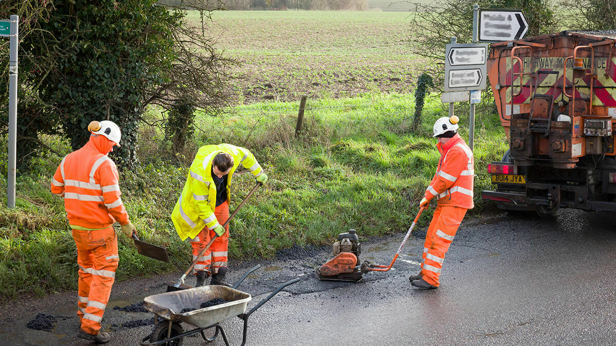
With the introduction of the street works permit scheme, Durham County Council’s Streetworks team were seeing an increase in permit assessments. Rural broadband plans in environmentally sensitive areas exacerbated the situation, as did the need to make checks on multiple systems and files with street data being held in more than one location.
This resulted in some applications needing amendment, after submission.By improving the data quality and quantity in the local Street Gazetteer, the team ensured it could then be better utilised to coordinate streetworks.
Multiple datasets were added to the gazetteer which meant coordinators could highlight the impacts of works to the local community much easier.
In addition, they could better assign permit conditions to lessen that impact and – through partners (One.Network) – the data could then be shared with the public.
The improvement of this data resulted in Durham County Council achieving ‘Gold status’ in all of GeoPlace’s Criteria and Indicator levels for 2021-22.

The challenges
The Streetworks Permit team had noticed a substantial increase in permits for street and roadworks over the past year. Efficiency in permit assessment is vital to ensure the impact of the works has minimal impact upon the local community.
While local knowledge can help engineers to coordinate some works, many checks still had to be done using separate systems. This slowed things down and put increasing amounts of pressure on the streetworks engineers. In addition, utility firms were generally unaware of some of the possible impacts of street works, due to lack of publicly available data.
The solutions
The solution involved finding a way to combine all the information the streetworks engineers needed – delivering an effective, efficient, coordination process that served the needs of the County Durham community well.
The team used the Street Gazetteer to combine this information. This ensured the data could then be available through not only the in-house coordination software, but also to any other systems that used the Street Gazetteer data.
The team worked collaboratively to glean data that might be added to the Street Gazetteer and, over the period of a year, included multiple new datasets to improve coordination. These datasets included Public Rights of Way (PRoW), Bus Lanes, Sites of Special Scientific Interest (SSSI), Areas of Outstanding Natural Beauty (AONB), Regular Market locations and days, Primary Gritting Routes, Parking Bays (Pay and Display and Permit Holders), Pedestrian Crossings, School Crossing Patrols, Shrinkable Clay areas, and additional data in Height Weight and Width restrictions.
Through the use of partner systems that use Street Gazetteer data, the team is now able to share the new datasets to work promotors and the public, increasing the data available to work promotors when applying for permits for street works.
The results
The project delivered increased efficiency in coordinating works, with works coordinators now able to immediately access data that would otherwise be held within other systems/files.
Coordination can now take account of various new datasets, reducing the impact of street and roadworks in a proposed area. It can also allow conditions that ensure that works do not, for example, impact on local market days.
This improves the experience for both work promotors and the public. By accessing details such as the location of parking bays, for example, a work promotor can know in advance that they will need to discuss parking arrangements on site. Or, if work is being done during the winter months, that arrangements may have to be made to accommodate road gritting.


