

Share
SPEAKERS:
- Sarah Hodgetts, Director, Geospatial Commission
- Nick Bolton, Chief Executive Officer, Ordnance Survey
Recordings of the 2024 conference talks can be found here
Boosting location-powered innovation
As the Director of the Geospatial Commission, Sarah Hodgetts presented the organisation's progress and achievements in maximising the UK's potential in geospatial to grow the economy, transform public service and improve people's lives.
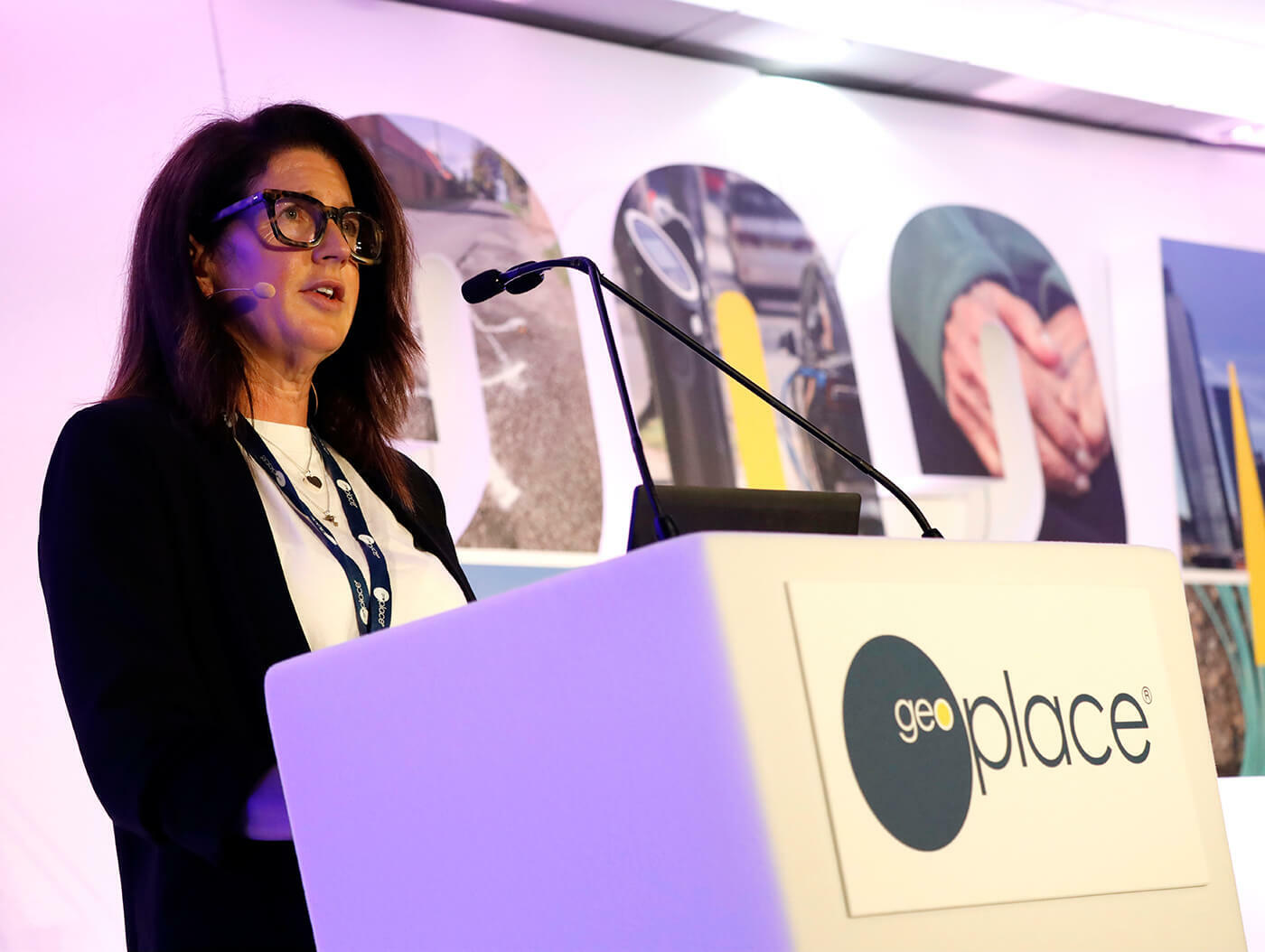
Data underpins the modern economy. It delivers improved efficiency in the public sector and enables us to make better evidence-based decisions, but also ensures more effective policy making. The data used in government - particularly geospatial data - drives innovation and economic growth right across the economy.
The Geospatial Commission is a part of central government. Created in 2018, it coordinates geospatial work across the public sector ecosystem and out into the broader economy. It is now a part of the Department of Science, Innovation and Technology, having moved from the Cabinet Office. The team sits alongside colleagues in the Met Office and the UK Space Agency. It is responsible for setting the UK's geospatial strategy and coordinating public geospatial activity. Uniquely, the Geospatial Commission also has an independent board of commissioners that provides advice from across the private sector, regulators and academia.
The Geospatial Commission's aim is to unlock the significant economic, social and environmental opportunities offered by location data to boost the UK's global geospatial expertise. It has three main missions. Enabling technologies to accelerate geospatial innovation, driving greater use of geospatial applications and insight across the economy, and building confidence in the future geospatial ecosystem. It does all of these by being rigorously focused on data assets.
Working with partners across government, it has a particularly defined set of partner bodies, called the Geo-6. The Geospatial Commission is particularly focused on the interoperability of that data and collaboration between those partners and wider - the Geo6 play a central role in the delivery of the UK geospatial strategy, both through the geospatial data they hold and their extensive expertise.
However, the ecosystem is much wider than just those bodies and much wider than just the public sector. It covers the private sector and academia, and The Geospatial Commission works intensively with all three.
Examples of the Commission's value include the National Underground Assets Register (NUAR). A real jewel in its crown. It will revolutionise the way the UK installs, maintains, operates and repairs buried infrastructure by improving the way data is shared and accessed - the economic benefits are huge. There are about 60,000 accidental strikes per year, interrupting services and putting the health and safety of workers at risk. Analysis show this causes around £2.5 billion pounds worth of damage every year. Around 680 asset owners are engaged already, equating to an estimated 96% of all the organisations in England, Wales and Northern Ireland. 347 of those have signed up to work with the Geospatial Commission at various stages of the process of delivering their data and making it accessible via the Public Sector Geospatial Agreement (PSGA). This 10-year contract provides geospatial data across a multiplicity of themes including buildings, transport, structures, addressing and land.
The PSGA delivers key data to public sector members for use in everyday settings to support the provision of critical services to the public. This is a major step change in how data is accessed and provided to members across the public sector.
The National Geographic Database from Ordnance Survey is made available through the PSGA and gives even greater breadth and depth of data than ever before, allowing more granular assessment of data to inform better decision making for everyone. The impact of the PDSGA is very much alive - and savings lives too.
When an unexploded bomb was found in Plymouth, the Devon and Cornwall Police reached out to Ordnance Survey for assistance. Under the PSGA, Ordnance Survey provides mapping to the emergency services. During major incidents like this one, Ordnance Survey provides immediate support to those public services dealing with the situation, providing key mapping and geospatial data and support.
In addition to the support provided there, Devon and Cornwall Police deployed drones to create a 3D model of the area. This data was then shared with OS to integrate both data sets and the police 3D models together. It was then augmented with other data sets including base mapping, the 300 metre evacuation zones and address data for properties contained within that. The model could be accessed by all the parties involved from any phone, tablet or PC in a single online location that was immediately available.
With those key partners notified, the use of geospatial data helped deliver a safe and effective evacuation and the removal of a bomb. In addition, the work that Geospatial Commission are doing with HMLR, Her Majesty's Land Registry, means this is one of the largest and most ambitious geospatial data transformation programmes ever attempted by UK government.
The aim is to digitise huge amounts of paper. Using cutting edge techniques, this program is demonstrating how innovation is improving the home buying and selling market for everyone. Local land charges for example, put restrictions or obligations on land such as conditional planning consents, tree preservation orders, listed building status and the like. This crucial information can be the deal breaker when somebody is trying to buy a property and therefore documents are essential to the process.
The programme has so far digitised and added the geospatial element to 5.5 million pieces of paper against the 25 million charges in the field. 96 of the 331 local authorities across England and Wales have transferred their charges into a single national digital register, saving nearly £2 million in searches to the economy. This is a 24-7 online service via gov.uk, and it's accurate and reliable. Once it's complete, it won't matter where citizens live, the service will be instant and the fee standard, and it will save an average person £11 per search. By allowing timely access by the users, and using location data as the key, this register is already offering wider benefits to the economy. Geospatial data is a key enabler to drive location-powered innovation, public value and economic growth.
Nick Bolton, Chief Exec of Ordnance Survey, then set the scene for the audience by outlining Ordnance Survey's aims and ambitions, and how the organisation is ideally placed to offer support.

Data is only really the start point. Excellent, high-quality data is useful, but it's essential to transform that data into insight. Indeed, an academic from the 1960s, Theodore Levitt said "People don't want to buy the product, they want to buy the benefit the product brings. People don't want quarter inch drill bits," he said, "people want quarter inch holes.”
Ordnance Survey plays a vital role in delivering a better Britain. Providing foundational authoritative data and enabling that data as a general-purpose technology. 'General purpose technology' is a term used by economists. In reality, it means foundational technologies, which may have no intrinsic value. They have value in their application and in their expression - things like electricity, the internet, the wheel. However, these are all vital to build cars or make fridges work or enable the internet.
Geospatial - authoritative geospatial data - is another one of those things. Most useful when actually applied to a specific problem domain. This needs to be a partnership because OS data is used by commercial off-the-shelf software, or sometimes through combinations with other data sets.
Sometimes the data goes into custom systems, or into a generic data house. And sometimes it just results in services. But through partnership, the UK can solve a wide variety of problems. The breadth of geospatial applications is enormous. It's applied in financial services, it's applied in the way home-owners buy a house, it's applied in the way that a farmer gets recompense for setting aside a field to be fallow one year.
It's also enabled by very many individuals and organisations. It's essential to be mindful of those characteristics, and of what's changing in markets and what's changing in technology capabilities. It's important for stakeholders to work out how they can harness that quicker and more broadly. The tools available, are still complex. The aim is to find ways in which democratisation can take place, to establish broader take up, and to broaden skill sets.
The data is now much more readily available, with much higher currency. Ordnance Survey's task is to create more destinations for its data. Solving more problems for more communities and for more people. At the same time, it needs to empower other entities with better data - better data in the very broadest sense of the word, more applicable for end destinations. Even higher currency, clarity around provenance, more easily interfaced - delivering more applications solving more things for more citizens and more people. If OS gets this right, then it builds for a better Britain.
You can download this write up as a PDF here.

