

Share
SPEAKERS:
- Chris Chambers, Deputy Director, Geospatial Commission, Leading the NUAR Digital Transformation Programme
- Viv Beck-Infrastructure Engineering Manager, Freedom Fibre
- Anders Harrison, Data Consultancy Manager, NHBC
Recordings of the 2024 conference talks can be found here
Delivering for Customers, supporting collaboration between utilities, planning and highway authorities
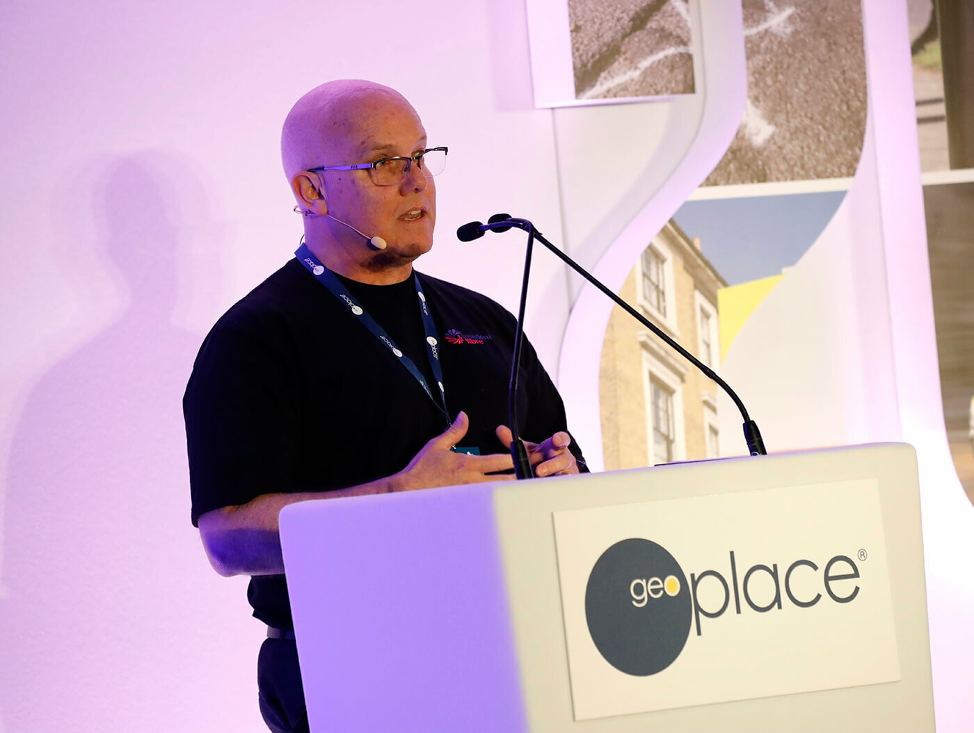
Chris Chambers started this session with an overview of
the National Underground Asset Register (NUAR). There are about 2.5
million miles of pipes and cables in the UK, and in the main, people are
unaware of them until something goes wrong.

However, as a piece of invisible infrastructure 10 times the length of the road network in the UK, this also means about four million holes must be dug every year to maintain it. Sadly, there are about 60,000 accidental strikes per year, interrupting services and putting the health and safety of workers at risk. Analysis show this causes around £2.5 billion pounds worth of damage every year.
Local authorities and other asset owners are legally required to share data for free with organisations carrying out street works, and those requests come in on a daily and weekly basis. It takes on average 6.1 days to obtain all the data needed from multiple stakeholders, to collate it and make it usable. The NUAR is the solution to this problem - an interactive, digital map of all the pipes and cables in England, Wales and Northern Ireland (Scotland has its own version).
The NUAR will transform how the UK installs, maintains, operates and repairs buried infrastructure. It should deliver over £400 million a year in economic benefit from more efficient data sharing, from reduced asset strikes, and of course, fewer and shorter road and street works.
But the NUAR is much more than a simple map. It standardises data from over 650 asset owners across the public and private sector, including energy and water companies, local authorities, transport bodies and central government departments. –This data is held in a variety of formats, all of which NUAR transforms into a harmonised data mode, based on the new international standard, MUDDI, that they have been supporting. In addition to standardisation of asset owner’s data, the NUAR holds the data securely to protect against misuse, and then puts the focus on streamlining data sharing between asset owners and those planning and carrying out excavations.
"Instead of it taking 6.1 days to receive and process all the data needed for an excavation," said Chris, "the NUAR makes that accessible in less than 60 seconds."
Incremental quality improvements are also key, as the data is used. There’s a continuous feedback loop from users. The NUAR core functionality supports the safe digging use case, providing improved safety for workers through better access to data. The functionality includes the ability tosearch for pipes and cables by UPRNs and USRNs, or by geographic location using a secure portal with two-factor authentication..
The first version of NUAR, or the Minimum Viable Product (MVP) covers the whole of England and Wales, and is on track to go live in spring 2024. It includes data from 203 organisations, including all of the major energy and water providers, such as Welsh Water, Cadent Gas and UK Power Networks, several major telecommunications companies, including CityFibre and Virgin Media O2, as well as smaller providers of these services, transport organisations and over 100 local authorities. Hundreds more asset owners are currently progressing through the process to make their data available via NUAR. The service currently has over 2,000 users, who are from organisations that are participating fully in NUAR, and their contractors.
Chris also discussed a discovery project underway to explore the potential additional value and feasibility of making NUAR data more widely accessible, but recognised that this also comes with a number of constraints and risks. He also shared that updates to existing legislation are being progressed to ensure workers have immediate access to all the data they need, when they need it, through NUAR.
He urged all local authorities to get involved in NUAR at the earliest opportunity by emailing [email protected].
Reducing costs and supercharging connectivity by intelligent infrastructure planning
Viv Beck set out the enduring challenge for many internet service providers and telecoms organisations: investing in design, working in an area, and then relying on marketing departments sell services connected to infrastructure. This often results in over-building - a situation in which several companies deploy infrastructure, perhaps unnecessarily so for their business models. Too many poles, too many pipelines and cables, and not enough customers.
As a result, some companies have merged. This has led to large territories for optimisation, perhaps tripling or quadrupling the commercial potential. GeoPlace data has enabled much of this expansion to be done efficiently: the underlying challenge also involves knowing in advance how many customers can be guaranteed.
For a design, the organisations choose an area, and define it precisely with UPRNs. These are particularly important as they lead to data analysis that informs how many potential customers are in the same location. UPRNs enable teams to superimpose other information on top of a geographic area; data layers that show, for example, where existing BT poles are, or where the business will need to erect its own poles or sink chambers. Such a map also visualised existing infrastructure, which enables teams to work out which cables and fibres are needed, where.
Next, the construction design and manufacturing phase begins - prioritising safety. It is important to ensure new infrastructure does not damage existing equipment: to install a pole, for example, it essential to not hit nearby high-pressure gas lines, or high voltage electricity. Street data from the DataVia API makes this possible through easily shared overlays. It also highlights the ownership of land, which makes it more efficient to identify where to get permissions. This is essential, not just from a legal perspective, but also in terms of customer development - avoiding stress and installation delays for customers.
All of these processes combine, centred on the UPRN, to help organisations meet pressing deadlines (a concern for investors). But they also aid initial assessments of a project area, so that organisations can establish what a project will cost, and what the return on investment will be. It's a fine balance. GeoPlace data is critical. The UPRNs are used to identify where to build, and what the potential commerce will be - residential or commercial - which informs the nature and scale of the fibre network. For businesses, more fibres are made available as, typically, a firm will need higher broadband. Residential and smaller business customers typically need 150 megabytes; larger commercial entities are more likely to need from 1-gigabyte to a 10-gigabyte installation. Together, these factors combine to reduce costs and supercharge UK connectivity through intelligent infrastructure planning.
Connecting the new build process
Anders Harrison presented the work of the National House Building Council (NHBC), the UK's leading provider of warranty and insurance for new build homes. Its work involves training and quality services, but also assessing and inspecting on site. Its ambition is to help builders get it right first time. While it does set standards, the NHBC is not a regulator. It's a non-profit distributing company.

Purchasers of new homes have a greater than 70% chance that NHBC will provide the warranty. It has 1.4 million homes on its book at the moment, and a key part of NHBC's risk management process is inspecting those homes. The organisation carries out one million inspections every year. This provides a significant data challenge. The quantity of assets and their nature means working with unstructured data in its rawest form, as well as documents, drawings, emails, conditions, and more. Where the site is, how big is it, how many plots it has, the curtilage, who's involved, etc.
Building inspectors view the plots, check details, and collect information on timelines and standards of build. Surprisingly, the address is not finalised until after completion and after the plot is sold. That's provided by the conveyancing solicitors. This presents a challenge, in terms of identifying a plot throughout the NHBC's processes. A plot number may change, and conveyancing solicitors may work in different ways - but consistency is key.
Large builders are keen to work use APIs that might solve this problem, but at present there is no common standard ID upon which all stakeholders can agree. It also nurtures a situation that is not customer friendly. The vision is to have a situation in which changes are notified and can be acted on in a timely manner. The solution is obvious. UPRNs must be implemented across the industry, at the earliest possible stage in the construction process. From thereon in, the NHBC can use it to ensure all aspects of its quality-focused processes are streamlined, and that addressing is absolutely correct before legal completion. The devil, however, is in the detail.
NHBC is evaluating two approaches. The feasibility and the workload required for building inspectors to go out, and capture GPS coordinates for every home or block. It's also running a proof of concept right with support from GeoPlace. The questions remain. Should the UPRN be allocated when registration takes place? Will the builders, have it? Crucially, will the back-office teams know what a UPRN is? NHBC is working hard on this, and aims to have a solution that implements UPRNs from plot data at the earlies stage of construction.
You can download this write up as a PDF here.