

Share
SPEAKERS:
- Cathy Coelho, Principal Chair of the DCA Regional Address Group and Hannah Brooks, Local Authority Liaison Manager (Address), GeoPlace
- Keith Curran, Principal Chair of the DCA Regional Streets Group and Jonathan Bates, National Street Data Manager, GeoPlace
- Juliet Whitworth, Head of Research and Information, Local Government Association
- Stephen Rowlands, Office for National Statistics, Head of Location Indexing
- Matthew Eglinton FIHE, Head of Local Highways Policy, Department for Transport
Recordings of the 2024 conference talks can be found here
State of the Nation - addresses
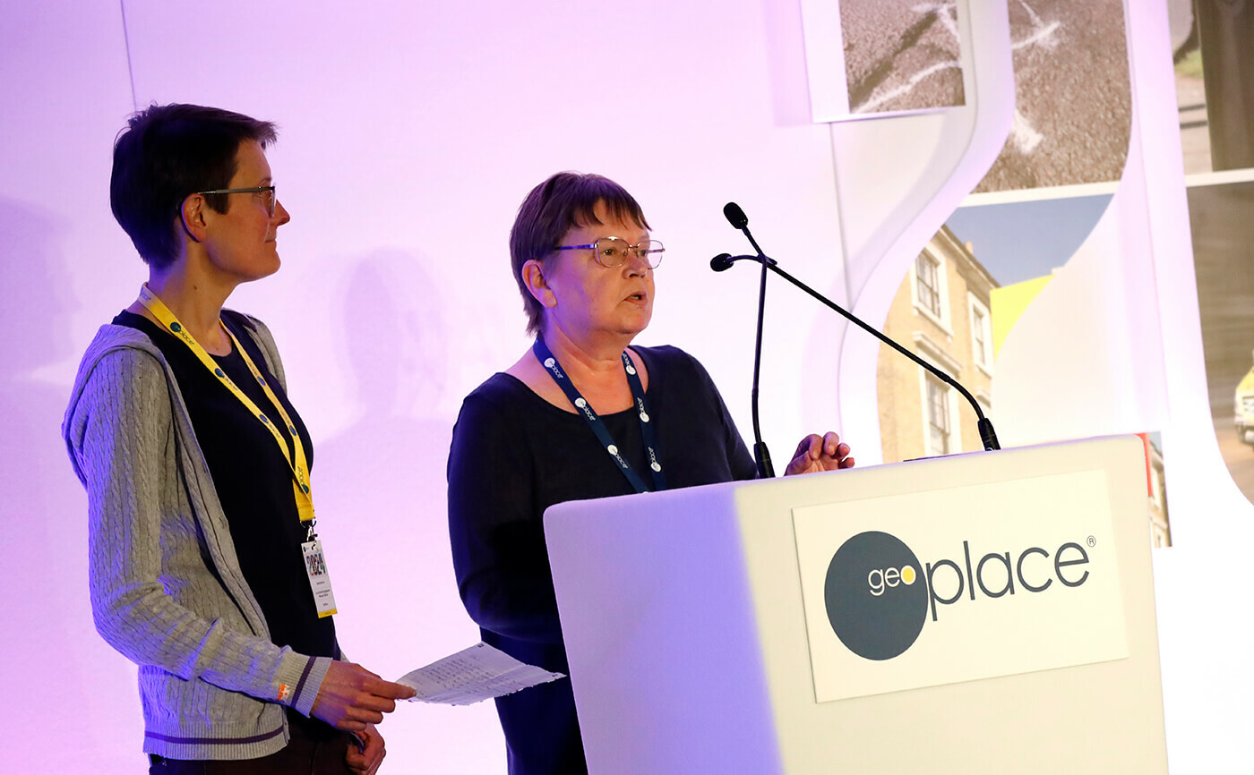
Cathy Coelho is the Address Custodian for Oxford City Council, and Principal Chair of the DCA Regional Address Group. She welcomed back Custodians to the first in-person conference since 2019 and spoke to the value working as a community and the importance of custodian engagement, involvement and commitment. Cathy introduced Hannah Brooks, GeoPlace’s Authority Liaison Manager for addresses as they set the scene and reflected on the great amount of improvement that's been possible through this collaborative community of professionals.
There's been more focus on certain criteria in the last couple of year: the completion rate for tertiary residential classifications, for example, is now close to 100%. Since May 2001 there's also been a huge amount of work done by Custodians to improve the accuracy of their coordinates data. That's been reflected in the improvement rates, and the resolution rate is up from its origins at 70% - it is also now close to 100%.
The work undertaken by Custodians deserves recognition. The value of greater positional accuracy is immense for a lot of key public sector data users. A great deal of attention now, quite rightly, is on tall buildings. This has been driven by a clear demand from the fire and emergency services data users, as well as a change in government legislation following the Grenfell Tower disaster.
Thanks to Address and Street Data Custodians, thousands of records have been linked, amended and new parents created, enabling data users to quickly and consistently identify potentially high-risk residential properties. It is clear that Custodians are achieving higher data quality levels than ever with nearly 70% at Platinum or Gold status already.
There was a dip in April 2011, when stretching new standards came in, but the community reacted positively and rapidly. It's a real testament to the hard work of Custodians and their teams, that we now see these high standards all across the board.
GeoPlace, too, has been making significant technical advances, with the release of new tools to help share and manage this data. These include the LA dashboard, GeoGateway, the candidates' tool, and the FindMyAddress. Those are all, one way or another, a means to further transform the way the community works together. This transformation has enabled greater efficiency and quality across the board. Cathy echoed this, and then spoke to the value of peers, encouraging each other to get involved when opportunities arise to join groups that further these advances for the community.
State of the Nation - streets
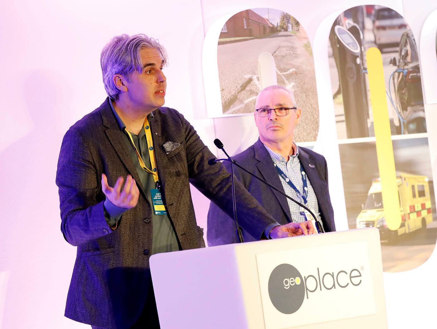
Keith Curren is the NSG custodian for Devon and the Principal Chair of the DCA Regional Streets Group. He welcomed attendees and introduced the regional chairs and deputies. He then reflected on the some of the improvements and changes over the past year. More than 15,000 new USRNs and 90,000 new items of additional street data have been created, whilst making 600,000 improvements to existing USRNs in the over the last 12 months.
Keith highlighted progress in improvement schedule criteria which included more than 155 street authorities achieving Gold or Platinum status by the end of March 2024. The biggest focus this year was the recording of almost 60,000 pedestrian crossings, traffic signals & traffic sensors
Jonathan Bates then spoke to the focus on other data quality improvements measured by GeoPlace this year, in particular the streets through buildings, but also a big drive on the street life cycle, street health checks and single streets errors.
Beyond the improvement schedules, use of the NSG has widened. In particular, in central government use. The DFT's work around R199B will revolutionise the way funding allocations take place. For the first time there will be an authoritative geospatial dataset from which to make those funding allocations. A huge amount of work has been done by both the Custodian community, colleagues at GeoPlace, Ordnance Survey and the DFT. When it comes to DFT Street Manager, the improvements continue to be made at rapid pace. And this year, for the first time, there were more than 2 million works planned in Street Manager with the NSG at the heart. The USRN is the golden thread, tying those different systems together.
Find My Street has now surpassed 7 million views. Seeing that public interest in the data has been fantastic. GeoGateway is making it easier for users to fix their errors and for Regional Chairs to help their regions and the use of DataVia continues to rise amongst authorities.
DataVia make it easier to consume the NSG and change the way data is shared to users. It's providing huge opportunities to expand beyond the use of the street works and road works and get those into wider systems. It's an exciting time for local authorities and the opportunities for the NSG are endless.
Keith explained that Digital TROs are increasing the availability and consistency of the TRO and TTRO. DFT are looking at rolling the project out within the next 12 months. And the next big areas of work for the NSG, will be ensuring that the PROWs are recorded accurately in the NSG with a full Type 3 network, looking at highway extents for the NSG. He also emphasised that NUAR is changing how we access underground assets, making works safer, concluding that there are exciting times ahead for us all!
Championing the role of the Custodian
Juliet Whitworth reflected on the immense value of Custodians' roles in collecting and collating data. UPRNs and USRNs are beyond useful. To councils in particular, UPRNs and USRNs are an essential lifeline to funding, efficiencies and savings.

As examples, Juliet cited Tower Hamlets Council, which linked all the polygons in its Local Land Charges Register to the Local Land and Property Gazetteer. When scans of Land Charges documents were then attached, the council realised more than £100,000 from increased efficiencies, and is now saving more than 1,000 staff hours each year through better quality data: faster access, faster transfers, less duplication and a significant reduction in human error.
Nottingham County Council have added UPRNs and USRNs to many of their internal systems, and a piece of recent analysis of investment in location data has shown a return of 6:1. Efficiencies were gained through, for example, identifying businesses that weren't paying the correct rates of taxation - case studies are available on the GeoPlace website.
Juliet explained why UPRNs and USRNs are so valuable; they are unique, high quality, authoritative and act as a golden key to link to other datasets in the council, and their use means that there are fewer errors when exchanging data and communicating about locations.
The key to UPRNs and USRNs, is that they are increasing in value. Their profile has increased, and with a central mandate, all government departments are now committed to ensuring new systems incorporate these identifiers. CQC registered care providers, for example, now use UPRNs as standard; so too does the VOA, in its valuations of property. And of course, the USRN is a key element in the National Underground Asset Register. A building risk register is being developed that will incorporate UPRNs, and GP patient databases are now ensuring patients can be identified at individual housing levels.
The LGA, together with GeoPlace has been working hard to promote UPRNs and USRNs to senior officers in local authorities, ensuring that Custodians' roles are emphasised. Webinars are run, and case studies demonstrate the return on investment - plus, with the support of the Local Government Association, tools such as 'Find My Custodian', 'DataVia', and 'FindMyStreet' are all improving the profile of these all-important services, and the people whose expertise enriches our national datasets.
Addresses make the world go around
Stephen Rowlands started by explaining the role of the Office for National Statistics (ONS). The ONS is responsible for collecting, analysing and disseminating statistics for the UK's economy, society and population. Within its Reference Data Management Framework (RDMF), are five indices - Demographic (person-level data); Business; Classifications (industrial and occupational) Address and Geography (the last two are also collectively grouped as ‘Location Index’).

This Location Index uses a comprehensive list of all UPRN’s in the UK as it’s 'data spine', to which are attached various address data, plus statistical and administrative geographies. In short, the RDMF makes it possible to create links between the indexes - ensuring the best, most comprehensive data possible is at the heart of the UK's statistical analysis.
There are approximately 42,000,000 addresses across the UK, but more than 200 million cross references within the AddressBase source data. Royal Mail’s Postcode Address File (PAF) and National Address Gazetteer (NAG) address variations are both represented, via built address lines. Also included is additional intelligence to indicate the current residential status of properties, beyond the classification code alone. The ONS Open Geography Portal is a free, open access, definitive source of Geospatial products - and there are discussions under way to perhaps develop that proposition further.
Stephen then spoke regarding the administrative data necessary for communal establishments, which require some additional processing prior to being utilised by ONS. These sources include schools, care homes, embassies, hospices, hospitals and student halls - there's nothing particularly sensitive in the data but establishing standard definitions for some categories can been challenging. This data is linked to the AddressBase and Geography data by ONS, for its customers.
ONS also develops its own tools, such as its Address Index Matching Service (AIMS). This matches UPRN’s to addresses, enabling quick and easy linkage of datasets using UPRN as the match-key. AIMS is used in-house already, for bulk matching of administrative data, ensuring the ONS can check millions of records rapidly. In addition, the Integrated Data Service/Platform (IDS/P) is being developed, enabling cross-government analysis within a secure environment.
The ONS is also in discussion with OS and the Geospatial Commission to work out a mechanism by which it might make more services and data available (initially AIMS) to external stakeholders. Finally, Stephen spoke to the work currently being done to explore population migration statistics, which may replace the Census in future.
Streets keep the country moving
Matthew Eglinton opened his session by explaining the importance of data in enabling the nation's traffic to move freely. Street works are essential for repairs and expanding existing networks, as is access to accurate data, planning and co-operation - and Street Manager is proving to be an essential tool in terms of delivering data that 'keeps us moving'.

National engagement, however, is important. Many initiatives are under way already: the number one issue in post bags is roadworks and streetworks that affect day to day journeys. A key focal point, therefore, is upgrading to ensure smoother, safer journeys. This involves a lot of data monitoring, and exploring ways in which local authorities might be supported even better. A lot of work is also being done around resiliency: managing the network against a changing climate, and collaborating cross-department to ensure efficiency on the road to Net Zero. Decarbonising is essential - be that through finding alternative sustainable materials that last longer, or even different ways of working. The team uses myriad datasets to underpin its policies and work, including Street Manager, which is celebrating 4 years of live running and is processing 3 million permit applications per year. Matthew announced that some big roadmaps items such as Defect Management would be dropping soon. Thanks to Surrey Lane Fund, the ability to record hazardous waste would be coming online this summer and that the DfT is discussing moving to DataVia with GeoPlace. These would be further explored at the Streetworks Roadshow Events, in association with GeoPlace, taking place during early summer and autumn.
In terms of data itself, Matthew highlighted some of the inherent challenges in maintaining information at this scale. A flurry of additional roadworks has started recently, reflecting greater investment in the networks. Data is critical for understanding the networks, and what's needed to keep Britain moving. There is enormous confidence being derived from the fact that high quality dataflows are consistent, and that local authorities are committed to ensuring information is kept up to date, so that it is resilient and safe for users.
To conclude, Matthew spoke to the importance of collaboration among key projects, such as the National Underground Asset Register; but also to the latent potential that might still be derived, from pursuing innovation with location data. Finally, Matthew encouraged everyone to engage as much as possible with the location data sets available to them, all of which are free at the point of use: that data enables authorities to access the funding needed, to make our road networks safe.
You can download this write up as a PDF here.