
Share
Lincolnshire street works and permitting colleagues, Ashley Behan and Mandi Robinson have been active users of the National Underground Asset Register (NUAR) since summer 2023 and the authority has recently set up a monthly data refresh to the platform which runs alongside other system updates.

API Simplicity:

Lincolnshire have been one of the early adopters of the ‘API’ functionality offered by 1Data Gateway via the REST API, meaning that a monthly submission of data is possible simply by zipping the collection of files, which the API then submits. Neil Houltby manages this element on behalf of the Highways Assets Data Team and says, “I already run a series of updates to our systems and by simply taking the downloaded asset data, zipping the files and using the API to drop them into the secure Gateway, we can be sure that all the latest data will be displayed”.
NUAR Potential:
The team have already seen great potential in the NUAR minimum viable product, recognising the current repetitive nature of collating and sharing statutory undertaker plans for all highway works. The ability to view all assets in one platform, including all those published on NUAR from their own authority resources, has huge potential to deliver time savings and efficiencies, plus a greater sense of job satisfaction by reducing repetitive work.
Ashley Behan said “With all data presented in a consistent format, it will give confidence to the user in making initial risk assessments and taking steps towards mitigation. The safety of operatives out in the field remains paramount”.
Summary:
The Lincolnshire team are delighted with NUAR, saying “It provides a secure reliable platform from which to carry out high quality searches. Coupled with the ease of refreshing the data, we know that NUAR will provide significant benefits to us as the highway authority and to city, district and borough councils for the foreseeable future”.
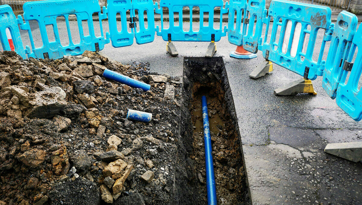
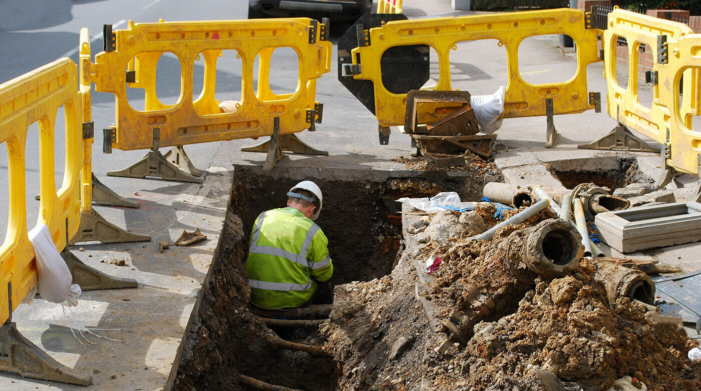
What is NUAR?
The National Underground Asset Register (NUAR) is a new digital map that is revolutionising the way we install, maintain, operate, and repair the pipes and cables buried beneath our feet. The emerging NUAR service is improving the efficiency and safety of underground works by providing secure access to privately and publicly owned location data about the infrastructure under and above the ground.
From streetlighting, CCTV and signals, to drainage, pipes and cables, historic sites and tree preservation orders; the platform will receive data from all underground asset owners across England, Wales and Northern Ireland, so it can be published to a consistent data standard.
Led by the Geospatial Commission, NUAR underpins the government’s priority to get the economy growing; expediting projects like new roads, new houses and broadband roll-out.
Do you work for a highway authority that hasn’t yet onboarded to the National Underground Asset Register?
Why not join this upcoming webinar on 10 September, where you can hear about other authorities’ experience of using and submitting data to NUAR.
You can also contact the NUAR onboarding team by emailing [email protected].