When the government announced a £5 billion programme to help rural communities access lightning-fast gigabit-capable broadband, we knew that Unique Property Reference Numbers (UPRNs) would be key. We also knew that suppliers would benefit from access to this location identifier, both in drawing up their propositions and delivering the roll-out of approved services.

As part of Building Digital UK’s (BDUK) wider remit, Project Gigabit should transform people’s lives. The project has already been effective at bringing gigabit-capable infrastructure to rural areas. The focus is on connectivity for people – the aim is 100% gigabit coverage in the shortest possible time – and by May 2023, coverage was at 67%. The programme has also created an extra 6,000 local jobs in areas benefiting from that subsidised coverage, and it’s contributed to an annual turnover increase of over £800 million per annum for local businesses.
All of this work depends on integrated use of the UPRN – a natural resource for BDUK and its suppliers, as the only data identifier that can ensure 100% certainty around the precise location of services and supply.
The government’s ambition is to deliver nationwide gigabit-capable broadband as soon as possible. BDUK has just opened a consultation ‘National Rolling Open Market Review September 2023 Request For Information’ for potential suppliers that are interested in delivering that gigabit-capable infrastructure. The aim of this process is to maximise efficiency, minimise market distortion and achieve the project’s objectives within a tight time frame. All of these objectives depend on the accurate identification of Intervention Areas (IAs) that are not included as viable options, because no infrastructure exists or is planned for a particular location within the next three years. Again, those IAs can be identified with confidence with the UPRN.
BDUK expects all suppliers to offer specific data fields for each pertinent UK address in a pre-defied format, so they can monitor the current and future effectiveness of gigabit services. This is where UPRNs are so valuable: they provide geographic precision, facilitating certainty in the identification of property. They also enable different datasets to be integrated or correlated with confidence, no matter what the original source or intention. This removes doubt about duplication, and increases confidence in decision-making.
So, to support the supply process – encouraging efficiency and accuracy – BDUK is providing the opportunity to access lists of UPRNs that are classified as Gigabit White and Gigabit Under Review for geographically relevant areas. In this way, suppliers can understand the latest BDUK view of non-commercial areas. Suppliers will need to sign an Ordnance Survey Public Sector Contractor Licence to access the data, but this is a relatively straightforward process.
The UPRNs will be divided into ten separate files for convenience, provided from the AddressBase Premium Epoch 103 published by Ordnance Survey in July 2023. Throughout their proposals suppliers will have to make sure UPRNs are used in data matched information.
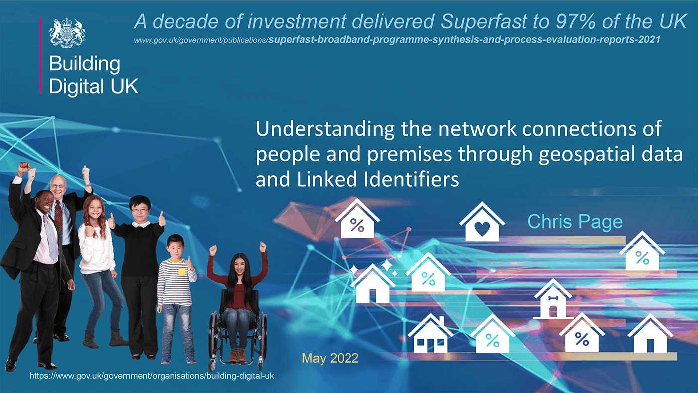
The Department for Digital, Culture, Media & Sport (DCMS) has long used geospatial data and linked identifiers such as UPRNs and Unique Street Reference Numbers (USRNs) to understand the network of connections of people and places. During the GeoPlace conference last year, attendees were shown a place-based strategies interactive map, which visualised detailed aspects of BDUK’s data insights’ work. It showed which areas did not have superfast connectivity yet, and by using UPRNs and USRNs the team at DCMS developed an interactive map that visualised detailed aspects of BDUK’s data insights’ work: the example showed which areas did not have superfast connectivity yet and made it possible to overlay reasons why that might be the case, even though they are fibre-enabled. . That presentation can be seen here alongside a short write-up of the session ‘Stronger British infrastructure.’

Similarly, Ofcom presented at the 2019 GeoPlace conference on using UPRNs to help deliver superfast, universal service obligations and mobile coverage. Ofcom used Ordnance Survey’s AddressBase and UPRNs to understand whether or not an address is likely to be inhabited and by whom and, to a greater extent, what the likely need will be for higher-speed broadband coverage.
Ordnance Survey worked alongside BDUK to overcome problems of natural geography on mission to bring ‘next generation’ connectivity to the nation. Geographic information such as UPRNs, AddressBase, and OS Highways, Roads and Paths data were used to model broadband connections in hard-to-reach premises in more remote communities. In this way much richer, visual picture of the country was created that was geographically accurate. This meant suppliers could work out whether one route could connect multiple UPRNs, compared to another which wouldn’t and end up being a waste of cable.
Find out more about UPRNs, their value in developing efficient national infrastructure and connecting people with places.


