

Share
With the Local Government Association (LGA) conference just around the corner, I wanted to highlight how local councillors can use FindMyStreets to help with case work and better understand the status of roads in your ward and across your authority.

We’ve made several changes to FindMyStreet recently, including the addition of ward boundaries, so you can see exactly which streets are in your ward and where they extend into neighbouring wards.
In short, FindMyStreet is a great tool to quickly help you find out the status of roads in your ward.
It’s free to use for councillors, thanks to funding from the Local Government Association. It’s a powerful online map of every road and street in England and Wales. You can use it to check and see which are maintained at public expense, determine if they are part of the classified road network and whether all the local public rights of way that you know about are included.
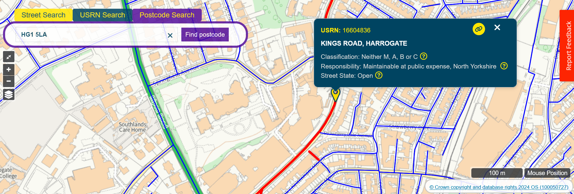
Essentially, FindMyStreet can be used as the reference database of road in your ward, and you can use it to:
- Find out if the council responsible for picking up fly-tips
- See the extent of the roads in your ward
- Find out whether an abandoned vehicle is on the public highway
- Check whether overgrown vegetation is on a council-maintained road
- Quickly check whether the council is responsible for fixing potholes and resurfacing on a particular road
- See the recorded public rights of way
- Check how the road is classified, is it an A, B or C road.
Local highway authorities are required by law to create and maintain a database of all the streets in their area. Every highways authority in England Wales uploads their local database to a national hub called the National Street Gazetteer (NSG). FindMyStreet shows every road and street that’s held in the NSG. It will tell you where a street is, what its official name is, and the maintenance responsibility of that street. The data is created and maintained by local authorities and then collected and managed centrally by GeoPlace.
See it at www.findmystreet.co.uk