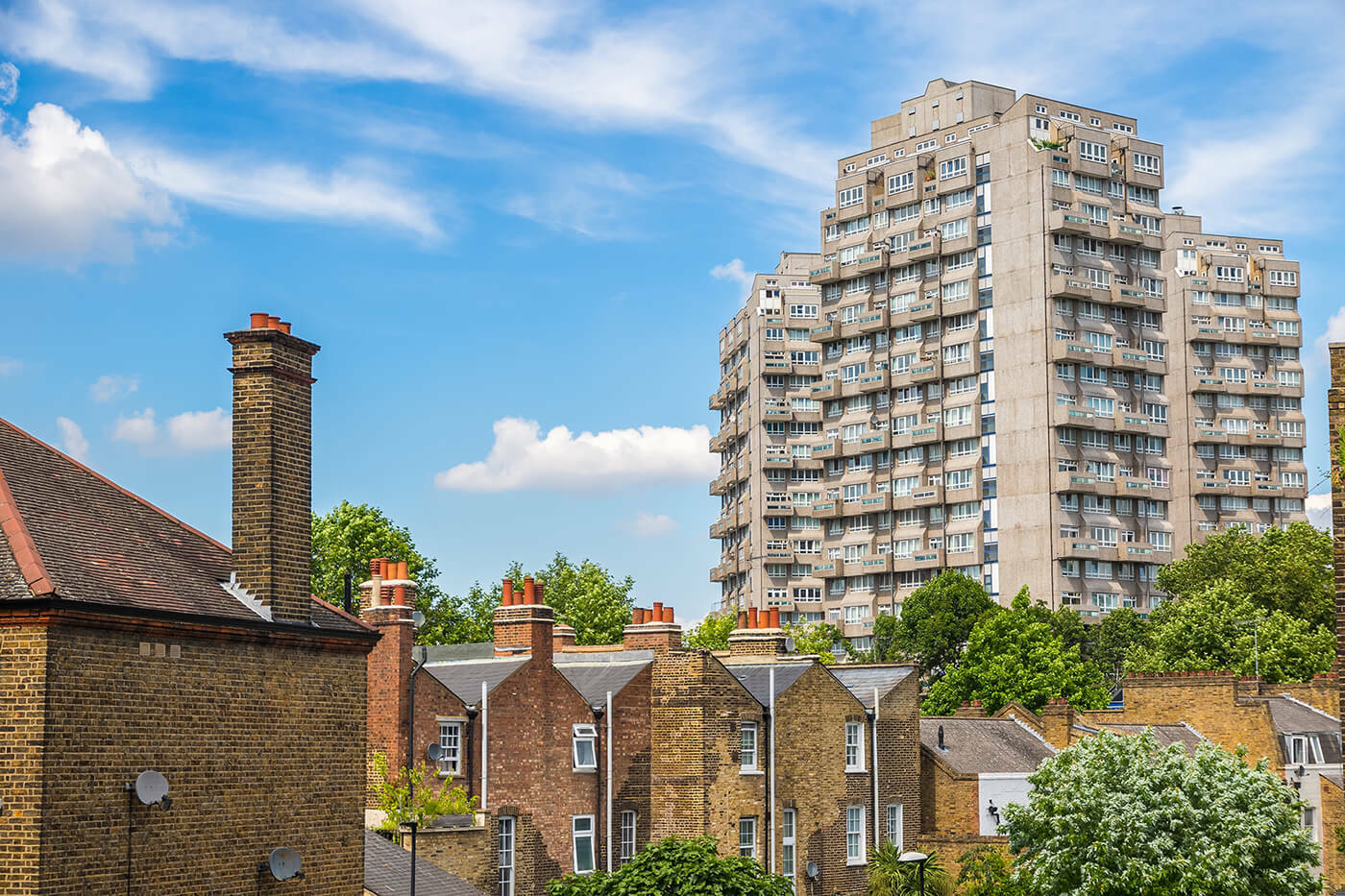
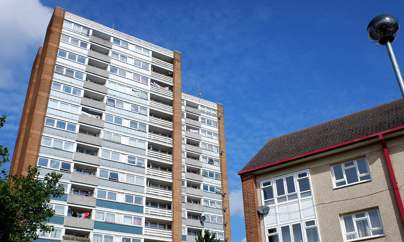
In response to tragic incidents such as the Grenfell tragedy in 2017, the Building Safety Act 2022 mandated a legal requirement to register high-rise residential buildings that are at least 7 floors high, or 18 metres tall or higher, with two or more residential units.
This blog will examine the process of capturing data on tall buildings, including their definition, as well as highlighting the importance of changes recently made to their classification. In a climate of ever-growing health and safety concerns, these updated standards have a crucial impact on resident safety.


Implementing these changes has not been an easy challenge by any means; this is especially true for authorities with a larger number of high-rise buildings which fall into this category.
How are tall buildings recorded?
Within AddressBase, a tall building can be identified as a ‘parent shell’ record, with its individual premises assigned as ‘children’, ensuring these buildings are recorded correctly and are thus easily identifiable to users of the data when viewed alongside OS Building Height data. These records categorise the building to enable fire and rescue services, and other emergency services, to appropriately prepare for any potential incident or emergency situation.
The introduction of standardised recording of tall buildings is an important step for improving the efficiency and safety of emergency service provision. The work custodians have been undertaking to ensure these are recorded accurately and consistently is a catalyst in enabling the emergency services to work effectively in protecting the public.
Why is it important to maintain this data?
In fire and rescue systems across the country, various sets of information from Ordnance Survey are used in their database – this includes the BLPU classification, and the building height data available on the enhanced gazetteer.
These datasets enable them to determine the use of the building (i.e. whether residential or commercial), alongside its height, and establish the need for an in-person visit from an inspector as opposed to being dealt with directly by the authority itself. The importance of ensuring data classification accuracy is crucial not only for custodians and fire and rescue services, but also for the general public, and those inhabiting the buildings. Understanding the nature of a property is imperative for emergency situations; it can impact how rescues are planned and carried out, it impacts the safety regulations that need to be followed and has the potential to save lives.
Another important element to be considered comes from the potential traffic flow surrounding these buildings, especially in densely populated areas, such as London or Manchester.
The ability to swiftly navigate traffic in these densely populated areas is crucial to the success of swiftly being able to respond to emergency situations. Any information pertaining to the suitability of routes, in order to access the correct point of access within the building, can be designated accordingly based on data from the gazetteers.

Supplier interaction
Leading up to the implementation of these new standards, GeoPlace reached out to gazetteer management software suppliers to gauge if they were able to meet the requirements.
Where GeoPlace received queries from authorities, we were then able to:
- Confirm the response given by the supplier as part of the original engagement.
- Determine if other users were experiencing similar issues or could confirm they were able to process Tall Building criteria.
- Share processes from either custodians or suppliers on how work could be completed.
- Engage with the supplier where addition support, clarification or work was needed.
Support for authority custodians
GeoPlace were able to identify and speak to users of similar software to clarify issues being reported, and where necessary seek their help in providing support for fellow custodians.
A common Helpdesk query came where users were unable to record data for standalone parent properties, hindering their ability to process tall building data.
There were a number of routes to tackle this. The first step was confirming with the suppliers that their software was able process records (verified by product users) which our Helpdesk team were able share and reassure local authorities.
Sessions held with authorities and their software supplier resolved how this data could be recorded, and clarified existing rules in software, preventing the requirements which were being checked.
Furthermore, assistance from another authorities provided details on individually assigning records. The ability to perform batch processing of record creations was being looked into by one supplier, which will help processing workloads.
Solutions proposed by another software supplier enabled users to create a parent for a site, then attached to records without changing the LPI or address of the associated properties. The process steps provided by the supplier were able to be shared with interested authorities.
In summary, the recent work on Tall Buildings highlighted the importance of the gazetteers in providing an accurate, consistently maintained dataset upon which the Emergency Services and other data users can trust. Meeting the new standards for data capture has required a substantial amount of work by local authorities, and collaboration between gazetteer custodians, software suppliers and GeoPlace to enable these improvements.


