By Baz Lokat, Senior Consultant, GeoPlace.

Like most people I have a routine in the morning before heading out to work; check the train times - make sure they’re running, grab my bag and head out of the door.
My walk to the train station takes 12 min 35 seconds. This morning I paid more attention than usual to my surroundings and counted 43 directives about what I can and can’t do on the road as a pedestrian, cyclist or a driver:
- double yellow lines
- single yellow lines
- no parking, no waiting
- 20 mph and 30 mph speed limits signs
- no entry
- cycle paths, shared pedestrian/cycle paths
- one way, no left turn, to name just a few.
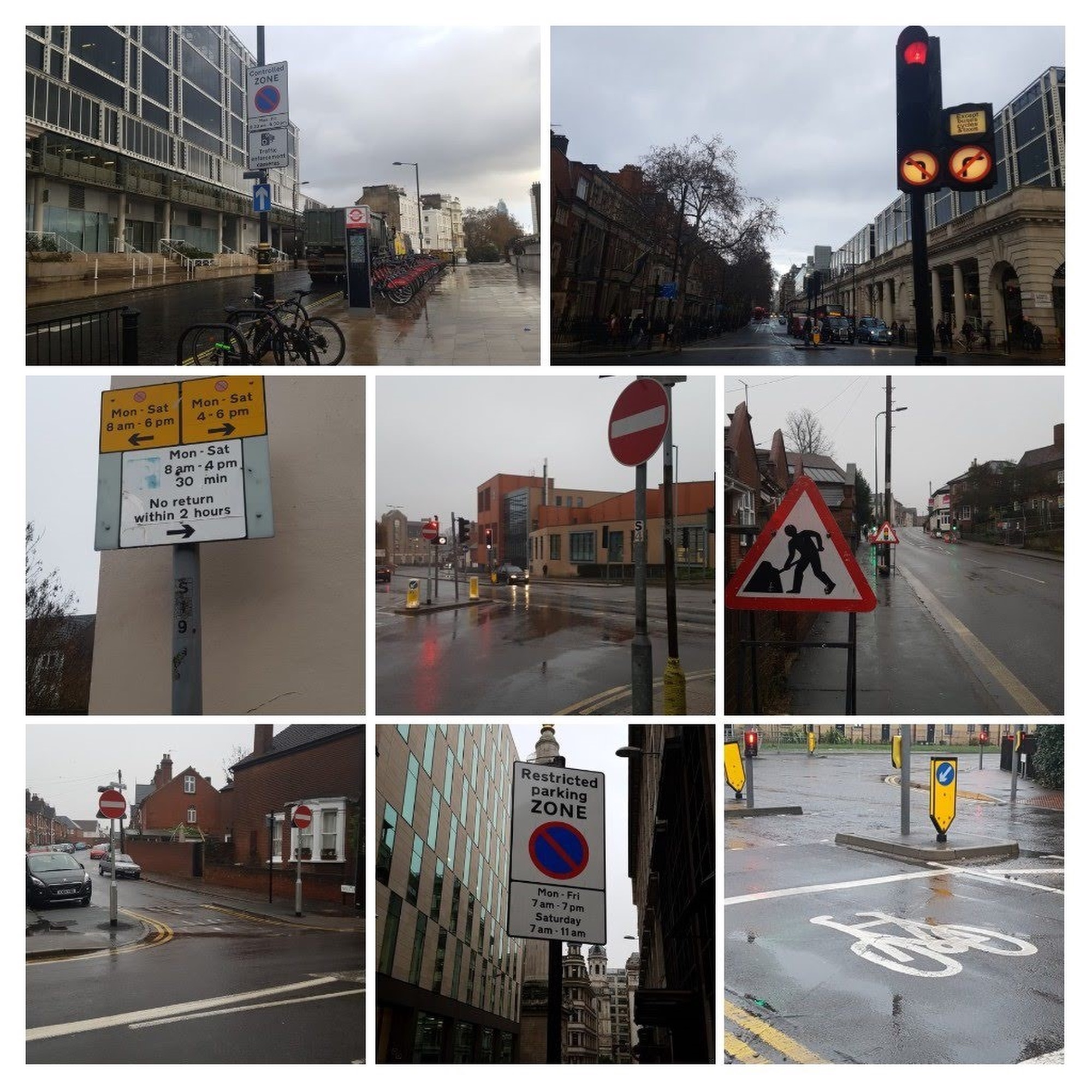
All of these instructions that form part of an everyday routine are subject to a TRO - a Traffic Regulation Order; a legal order created by local highway authority based on legislation from 1984. They are potentially the most common legal instrument that we all come across on a daily basis.
Crucial to the way we use the road
TROs are essential to the way organisations that have people using our roads get services to us:
- helping the delivery driver get that thing to me by 1 pm the next day
- getting that takeaway delivered whilst it’s still hot
- getting a taxi from a taxi rank
- making sure that the emergency responder arrives at the right location quickly.
Most of us have experienced at least one of these situations before:
- being directed by a sat-nav to a place you’ve never been to before, “is it a left turn here then a right turn there?”, “no wait, what? I can’t do a u-turn here!”….
- being in touching distance of where you need to be, your journey has had some up and downs, both literal and figurative, you finally find a spot to park and then you’re confronted with a parking instruction that is just baffling. You’re late
- that diversionary route when streetworks are (or aren’t) happening
- knowing where to park and how long for vs getting a parking ticket
- knowing the speed limit vs getting a speeding ticket
- or simply being told that the road is closed for an event
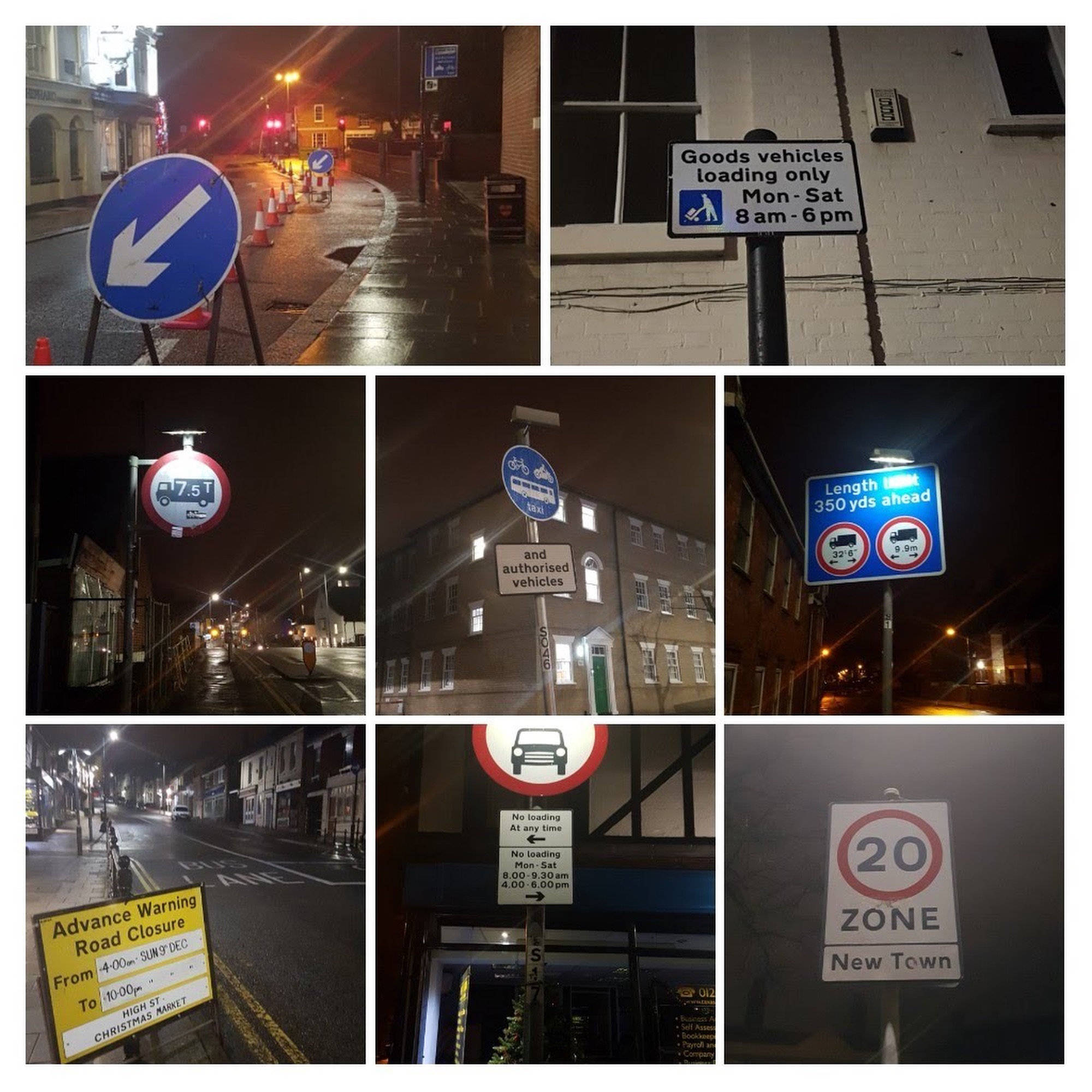
What about people that are categorised as vulnerable road users? Cyclists, motorcyclists, pedestrians, horse riders, children, the elderly, those with disabilities. I don’t care much for the general categorisation, but the point is we all use the road.
In essence, TROs are the rules and regulations governing our use of the road and they are put in place to keep us safe, secure, and mobile.
Information for the future
The process to identify if a TRO is needed, and then the creation, subsequent consultation and implementation of a TRO is complex and costly but it is there for a valuable purpose. There are organisations that think about how this translates to data and the way in which this information gets to our devices. There are some fantastic apps and technologies that are available now, coming to market and continually being developed but for the technology to work, it needs data that is authoritative, of high quality and consistency and in an accessible format.
It is fair to say that we have an expectation that the information we receive from our tech is current and reliable enough to help us make informed decisions and get that service. But we’ve all seen the headlines where a sat-nav directs a lorry down the wrong street or in extreme circumstances where someone has been directed to a cliff edge. We take for granted the volume of information required and why this process exists.
Skip forward to the future where self-driving cars are the norm – how does an automated vehicle know what to do on our roads and understand the complexity of a legal order? People will just expect it to work – do they need to know how?
Clarity
How do we get from where we are now with TROs to where we might want to be?
In order to answer that question, we need to
a) develop a good understanding of the current situation b) make sure we have an even better understanding of what is needed in the future c) ensure we have a clarity of purpose before considering what the solution might be.
Collaboration
Achieving this clarity cannot be undertaken in isolation. GeoPlace are undertaking a project with the Department for Transport (DfT), British Parking Association (BPA) and Ordnance Survey (OS) to collect an evidence base to understand the complexity of the current TRO process and understand the value of TRO data now and in the future.
Discover
Our role in the TRO Discovery project has 4 areas of focus:
We will engage widely with experts, and with people and organisations who
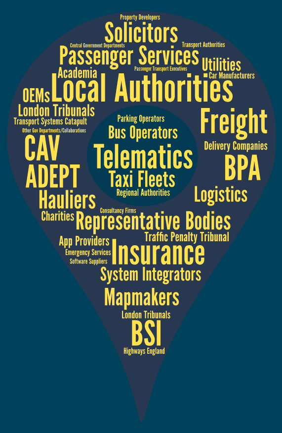
require TROs to understand:
- who is reliant on TROs
- how the process works for them
- how we might look to improve it in the future.
We will work with local highways authorities to understand how they create TROs and manage their TRO data.
We will produce a guide to help local authorities understand how they can work within the limits of current legislation based on best practice in the current landscape.
We will develop a draft Data Model for TROs, a free resource for all. It will be compatible with Connected and Automated Vehicles (CAVs) and the international TRO landscape.
This will support the move towards TROs being easily accessible
To do all of this in the best way we need to collect evidence on how the existing system works for you. We are doing this via a short online survey asking for people’s experiences in working with or creating TROs.
If this is you, please have a look at our introductory video and complete our survey which is available at www.geoplace.co.uk/TRODiscovery, or contact [email protected]


